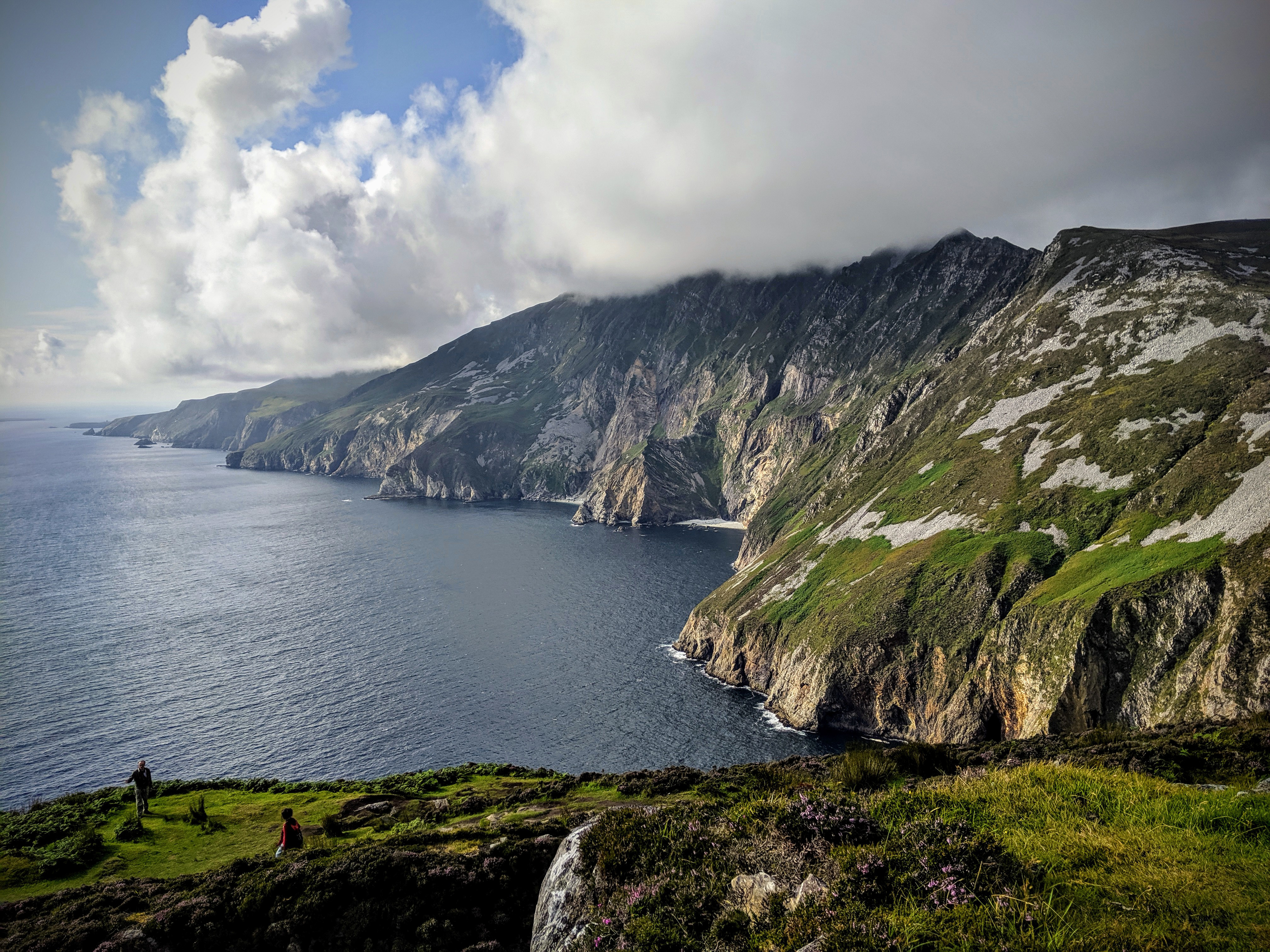
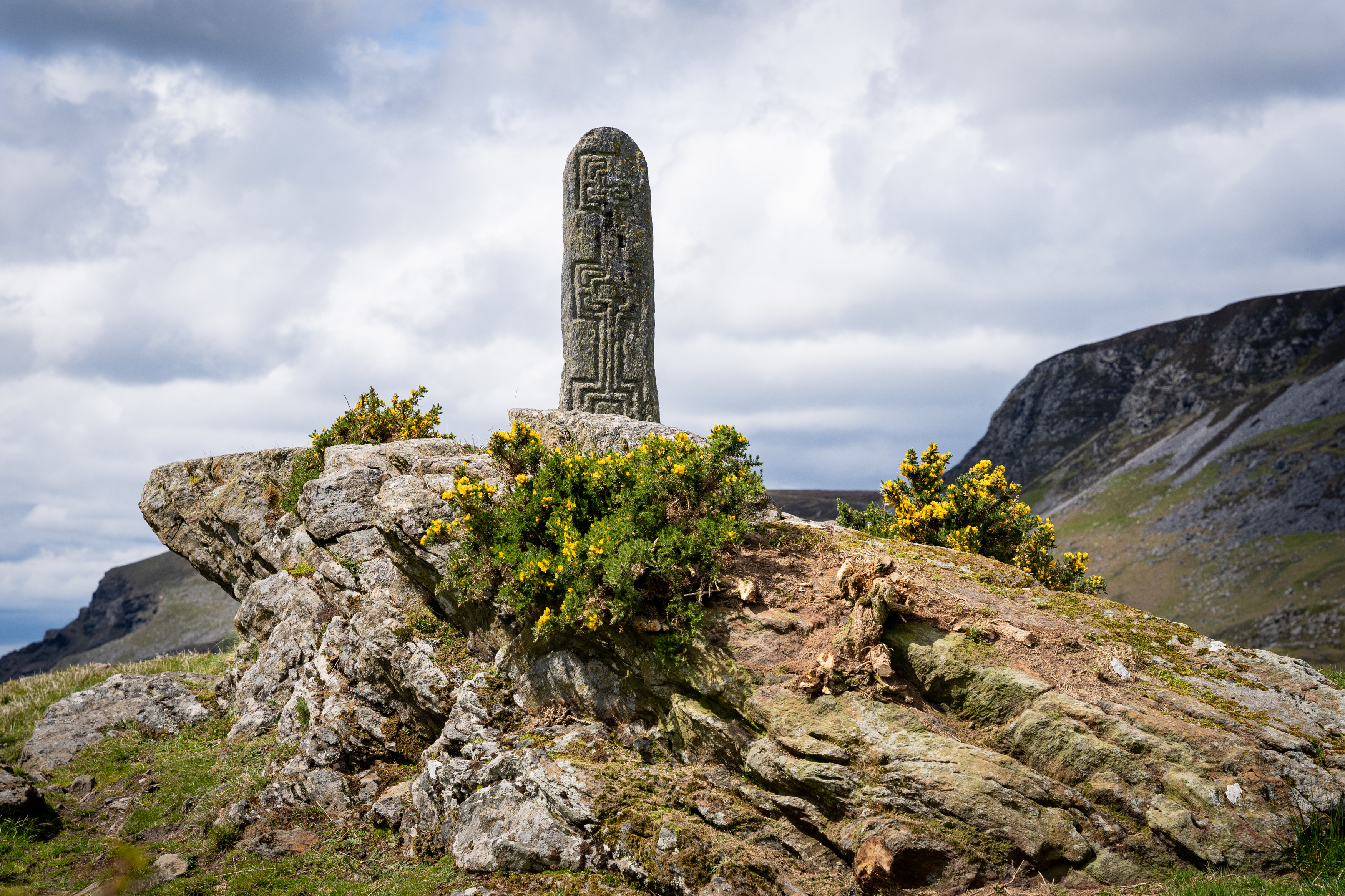
Mapping the Heritage of Gleann Cholm Cille Parish
View the mapThe parish of Gleann Cholm Cille contains a unique wealth of local placenames. The numerous townlands and recognised landmarks are overlaid with a rich tapestry of more than 3,000 minor names associated with each field, stream, crag, pool, natural and man-made feature in the locality. Together, these placenames outline the history and folklore of the region, the natural coastal and marine environments, as well as the lives and beliefs of many of those who lived there.
The project Mapping the Heritage of Gleann Cholm Cille Parish aims to preserve and highlight this valuable heritage. Many names and their locations, as well as the stories that go along with them, are only known by a few people now. A community group is gathering this information and bringing it together in an online map that will be accessible to everyone. We are building on the work of others as well as collecting knowledge from those in our local area.
Since the project began in 2021, during the Colmcille 1500 commemorative year, we have placed over 1,700 names on the map. We are extremely grateful to each of our project partners who enabled us to carry out this work. The project is ongoing and open to anyone who would like to participate. Please note that the current map is a work in progress and we are open to corrections and further suggestions from the community.
Stories behind the names
A series of articles that highlight connections between places or ask what the names tell us about our local heritage.